WORKING TOGETHER,
TOMORROW'S RESILIENCE
Building a more resilient island begins with an informed community and collaborative planning. Through educational programs, workshops, and planning initiatives, Great Diamond Island residents have worked alongside local, regional, and state partners to better understand coastal risks, identify community priorities, and establish a shared vision for the island's future.
THE RESOURCES below highlight the community-led efforts to identify Great Diamond Island's strengths, vulnerabilities, and priorities for building long-term resilience. They document the planning process, community input, and strategies that continue to guide resilience efforts across the island.
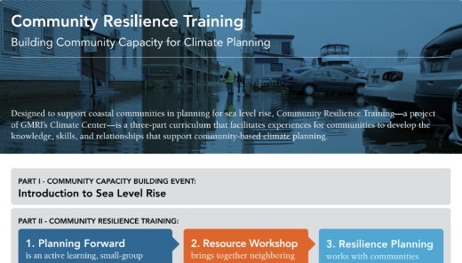
2022 GDI RESILIENCE TRAINING WORKSHOP. Facilitated by the Gulf of Maine Research Institute and Island Institute, this community resilience training workshop engaged residents in defining what they value most about Great Diamond Island, identifying climate vulnerabilities, infrastructure risks, and helping shape a community-driven framework for future resilience planning.
READ THE SUMMARY PDF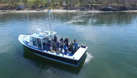
SHORELINE STABILITY MAPPING OF LONG, GDI AND LITTLE DIAMOND. In early spring of 2024, the GDI Partnership helped make shoreline mapping of Long, Great Diamond, and Little Diamond Islands possible by coordinating with the Maine Geological Survey (MGS) and the Greater Portland Council of Governments (GPCOG). Funded through a Maine Department of Inland Fisheries and Wildlife grant, the GDI Partnership provided the lobster boat and local knowledge to provide access to the islands' shorelines and create the opportunity for the fieldwork to take place.
Over two days, MGS and GPCOG remapped the islands' shorelines, documenting shoreline stability and classifying coastal features such as bluffs, dune systems, perched dune systems, and other shoreline types. The completed maps provide valuable information to support Maine DEP's coastal zoning and permitting programs, as well as coastal planning, conservation, and resilience efforts, and are available through the MGS website. These shoreline stability maps provide important baseline information for understanding erosion-prone areas and informing future shoreline management.
VISIT MGS COASTAL MAPS AND ONLINE DATA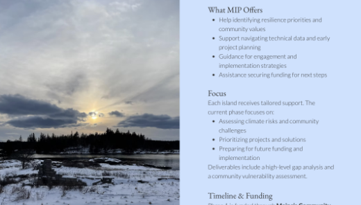
MAINE ISLANDS PROJECT. This ongoing project is a collaborative initiative led by the Island Institute and Resilient Communities, L3C to help Maine's 13 recognized year-round unbridged islands prepare for the challenges of a changing climate. Working with Chebeague, Cliff, Great Diamond, Long, and Peaks, the project provides technical assistance, planning support, and guidance in securing funding to strengthen community resilience, protect infrastructure and natural resources, and support the long-term sustainability of island communities.
VISIT THE MIP WEBSITE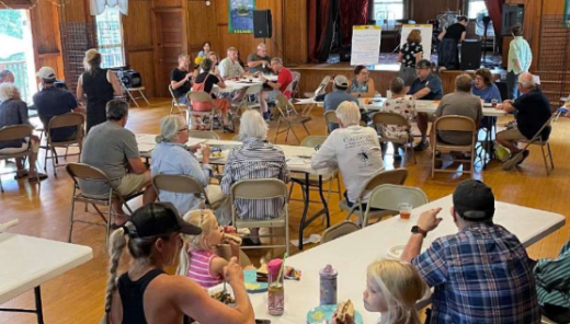
2025 GDI RESILIENCE WORKSHOP. As part of a regional resilience initiative involving several Casco Bay islands, the Great Diamond Island Resilience Workshop brought residents together to identify the island's vulnerabilities, discuss community priorities, and explore opportunities for future resilience planning. Similar community vulnerability and resilience planning studies have been completed by neighboring island communities, providing opportunities to share knowledge, compare priorities, and strengthen regional collaboration. Facilitated in collaboration with regional partners, including the City of Portland, the workshop established a shared framework for community-led action.
READ THE SUMMARY PDF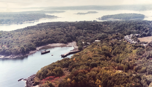
GDI SHOREUP INITIATIVE. A community-led effort is underway to develop a long-term resilience strategy for Great Diamond Island. Building on the Maine Islands Project and other city island resilience initiatives, FB Environmental Associates, an environmental consulting firm with extensive experience in community resilience planning throughout coastal Maine, is working with the GDI ShoreUp Committee to assess the island's existing conditions, identify climate vulnerabilities, and establish priorities for addressing coastal erosion, flooding, wildfire risk, infrastructure, and other community concerns. The goal is to create an actionable implementation plan that helps inform the City of Portland's planning efforts, strengthens regional partnerships to support future collaboration and funding opportunities, and provides an adaptive management framework for informed decision-making as the island prepares for a changing climate.
EMAIL FOR INFO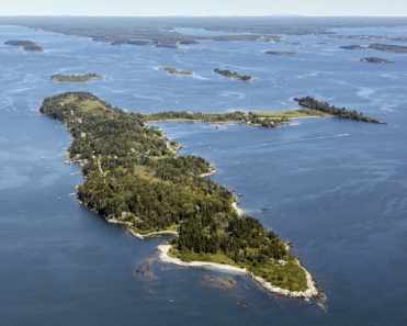
CASCO BAY ISLANDS CLIMATE COLLABORATIVE. This regional initiative brings together six Casco Bay island communities to strengthen collaboration on shoreline resilience and climate adaptation. Funded by the Casco Bay Estuary Partnership, the initiative supports peer learning, homeowner education, regional workshops, and collaborative funding opportunities. Together, these efforts help island communities share knowledge, coordinate planning, and prepare for changing coastal conditions.
EMAIL FOR INFO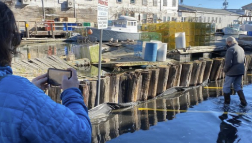
COASTAL FLOODING COMMUNITY SCIENCE. Great Diamond Island has five community science monitoring sites where residents and visitors can help document coastal flooding, erosion, and wave splash-over under a wide range of coastal conditions. Developed by the Gulf of Maine Research Institute, this initiative combines community observations with weather station and water level data to identify the conditions that contribute to flooding and where impacts occur most frequently. These community-generated data help inform resilience planning, infrastructure investments, and adaptation strategies while improving our understanding of how sea level rise and changing coastal conditions are affecting Maine's shoreline communities.
PARTICIPATE HERE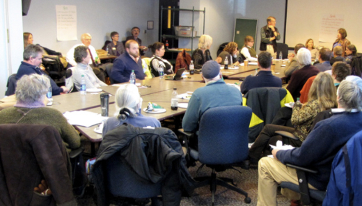
MAINE ISLANDS COALITION. This coalition (MIC) is a collaboration of island communities, facilitated by Island Institute staff, that discusses and, when possible, reaches consensus on issues brought forward by its appointed community representatives. The MIC provides a state-wide forum and voice for the unbridged, inhabited year-round islands in Maine. Membership in the MIC gives Great Diamond islanders perspectives on the statewide issues at play as well as a ready group of people facing (and addressing) those issues themselves.
VISIT THE MIC WEBSITE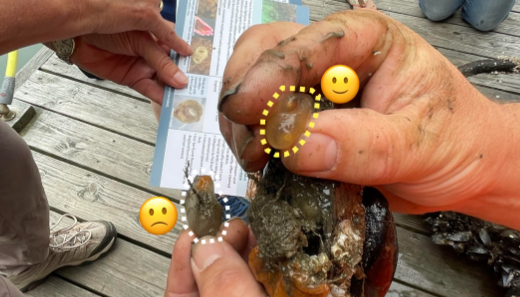
MARINE INVADER MONITORING & INFORMATION COLLABORATIVE. info tk Lorem ipsum dolor sit amet, consectetur adipiscing elit, sed do eiusmod tempor incididunt ut labore et dolore magna aliqua. Ut enim ad minim veniam, quis nostrud exercitation ullamco laboris nisi ut aliquip ex ea commodo consequat.
VISIT THE MIMIC WEBSITE